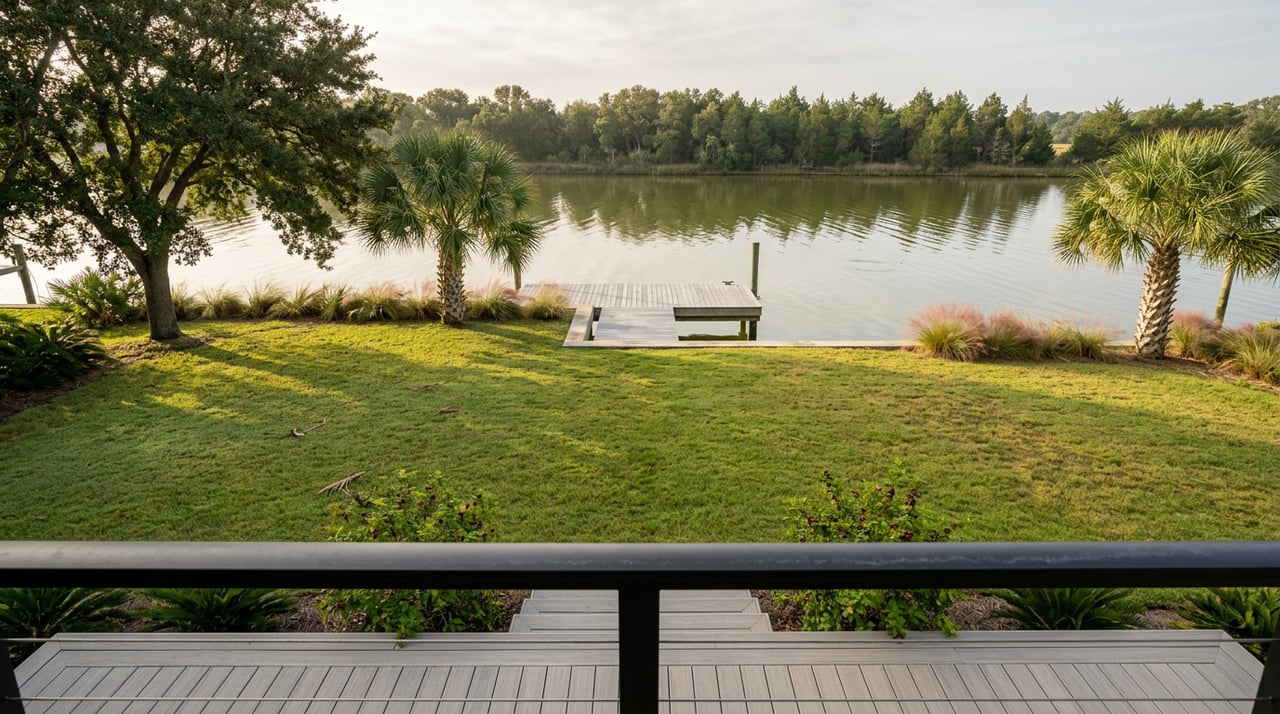
Pull into the boat ramp at Wayside Park on a Saturday morning and you'll see the same thing you've seen for years: a handful of kayaks stacked on truck beds, someone's dog already soaked, and a quarter-mile of open water between the launch and a low green smudge of land near the three-mile bridge. Everyone calls it Deadman's Island. Almost nobody who paddles out there today remembers that you used to be able to walk to it.
That's the part of the story that gets left out of the "hidden gem" posts. Deadman's Island isn't hidden. It's shrinking, and the city has spent the better part of two decades trying to slow that down, most recently with a shoreline repair job that just wrapped up on the island's northeast end.
The land bridge nobody under 50 remembers
Deadman's Island sits off the northwest coast of the Fairpoint Peninsula, where Gilmore Bayou empties into Pensacola Bay, just northwest of Highpoint Drive. For most of the twentieth century, it wasn't fully separated from the mainland. Aerial photographs tracked through the 1940s, the 1970s, and the late 1980s show the connecting strip of sand getting narrower with each decade. By the mid-2010s, it was gone. One longtime resident, writing to Gulf Breeze News after moving to the area in 1968, recalled that her children used to reach the island through several residential lots along Highpoint Drive. Those lots have since been built on, and the only way in now is by water, launched from the end of Navy Cove.
That disappearance wasn't an abstract erosion statistic. It changed how an entire neighborhood used a piece of land they'd grown up walking to. And it kept going. When the new Pensacola Bay Bridge project moved forward, Gulf Breeze residents and city officials raised a specific concern: that the bridge itself could interrupt the natural flow of sand toward the island, accelerating the loss even further. The city council formally asked state regulators to study the bridge's impact on the island.
That's the baseline worth sitting with before you plan a paddle out there. This isn't a static sandbar waiting to be discovered. It's a barrier island that the people who live around it have watched change shape within their own lifetimes, and the city has been treating it as something worth actively defending rather than just marking on a map.
What the sand is actually covering
Part of why Gulf Breeze cares this much is what's underneath. Before it was a paddling destination, the island served as a careening ground, where ships were tipped on their sides for hull repair, and later as a shipbuilding site. In the 1800s, it functioned as a quarantine station for sailors suffering from yellow fever, and it holds an unmarked cemetery from that era. Guided archaeology tours run in past years by the Florida Public Archaeology Network combined a short kayak paddle with a walk through that history, pointing out where barrel wells, coffins, and shipwreck remains had surfaced through the eroding shoreline.
None of that history disqualifies the island as a good Saturday. Matt Gamble, who lives behind it, put the current use plainly to a local news crew: paddle boarding, kayaking, fishing, people anchoring in the shallows to hang out on the beach. That's still accurate. It's just layered on top of a site the city legally owns as a conservation area and has spent real money trying to keep from washing away entirely.
Why the city just paid to rebuild part of a beach
In 2016, Gulf Breeze committed $100,000 toward saving Deadman's Island and formed a council committee dedicated specifically to its preservation. That effort has continued in stages rather than as one project. The most recent piece, tracked on the city's own capital projects page, restored a 130-foot section of riprap and shoreline on the island's northeast end. The work was fully funded through the city's Local Option Sales Tax, built by Hewes and Company LLC, and the project status now reads completed.
Riprap, in plain terms, is the layer of rock placed along a shoreline to absorb wave energy before it can chew further into the sand behind it. Placing it on the northeast end specifically targets the side of the island most exposed to bay chop and boat wake, which is also the stretch closest to where most kayakers land. If you've paddled out there before and found the northeast shoreline soft and slumping, that's the section the city just went back in and armored.
It's a small, unglamorous kind of infrastructure to get excited about. But it's the difference between a landform that keeps quietly losing ground every hurricane season and one that has at least one reinforced edge holding steady.
Two ways locals are actually getting out there this fall
Access hasn't changed much, just the ways people choose to do it.
The self-guided route starts at Woodland Park, a small city park with picnic tables, a playground, and a dock built for exactly this. Launch from the dock, paddle out the canal, and take a left. It's roughly a one-mile trip each way, entirely within sight of the mainland the whole time.
The shorter option is from the Wayside Park boat launch near the three-mile bridge, about a half-mile crossing with the island visible from the ramp the entire way. This is also the launch point Black Manta Kayak Club uses for its guided Deadman's Island Treasure Hunt, an outdoor scavenger-hunt style excursion built around clues tied to real Pensacola history. A guide outfits your group with kayaks and life jackets at the launch, hands over the first clue, and lets you paddle out mostly on your own before meeting you again on the island for the puzzle-solving portion. It's built for ages 8 and up, which makes it one of the few structured ways to get a family onto the island without anyone needing prior paddling experience.
Either way, the trip is short enough to do before lunch and different enough from the beach at Pensacola Beach that it's worth treating as its own outing rather than a substitute for one.
The other marker of a Gulf Breeze fall
If Deadman's Island is where Gulf Breeze quietly spends its Saturday mornings, the Gulf Breeze Area Chamber of Commerce's Taste of Gulf Breeze is where the same crowd shows up on a Friday night. The 12th Annual Taste happens October 23, 2026, from 6 to 9 p.m. at the Gulf Breeze Community Center, with more than 50 local restaurants, food trucks, caterers, and bars pouring unlimited samples and competing for the Golden Spatula Awards in appetizer, beverage, and dessert categories. It's a 21-and-up event with ID checked at the door, and tickets are sold through the Chamber's Eventbrite listing or in person at the Chamber office for anyone paying cash.
Between the two, that's a fairly complete picture of what fall actually looks like here: a shrinking island the city keeps fighting to hold onto, and a food festival that's been running long enough to be on its twelfth annual round. Neither one shows up on a generic Emerald Coast listicle, and both are worth knowing if you're the kind of person who already calls this place home.
If you're the kind of person who likes knowing the small, specific things about where you live, that's also the kind of local read Pensacola Realty tries to bring to every corner of this coastline. Whether you're just curious about what's changing in your own backyard or thinking ahead to your next move here, reach out any time.